
HUMMINBIRD LAKEMASTER GREAT PLAINS
$104.99
The Humminbird LakeMaster Great Plains, Version 6 combines many of the best fishing waters for Iowa, Illinois, Kansas, Missouri and Nebraska, all on one map card.
Description
Humminbird Lakemaster Chart – Great Plains Version 6
Item 600017-5
Coverage and Compatibility
The Humminbird LakeMaster Great Plains Chart, Version 6 combines many of the best fishing waters for Iowa, Illinois, Kansas, Missouri and Nebraska, all on one map card. Version 6 also brings the groundbreaking technology of Follow the Contour to your fingertips. When combined with a compatible i-Pilot® Link™ system, your map card allows your boat to automatically follow a path directly on or offset from any contour, so you can focus on fishing.
LakeMaster Great Plains Version 6 contains 160 new or updated lakes from the previous version, and now has over 500 total lakes with contours, of which more than 400 are now high-definition lakes including:
- Table Rock, MO
- Lake of the Ozarks, MO
- Three Mile, IA
- Twelve Mile, IA
- Pleasant Creek, IA
- Cedar, IL
- East Loon, IL
- El Dorado, KS
- Banner, KS
- Bull Shoals, MO
- McCanaughy, NE
- Plus many more!
The map card also features other great fishing waters, including:
- Keith Sebelius, KS
- Wilson, KS
- Smithville, MO
- Truman Reservoir, MO
- Red Rock, IA
- Illinois River Pools
- Mississippi River Pools
Additionally, the card has outstanding coverage on Lake Michigan:
- All of Lake Michigan (5′ & 10′ contours)
- Green Bay (3′ contours)
- Big Bay De Noc (3′ contours)
- Little Bay De Noc (3′ contours)
- Sturgeon Bay (3 ft. contours)
- Little Traverse Bay
- Grand Traverse Bay
LakeMaster Map Card Features Include:
- Highlight Depth
- Shallow Water Highlight
- Water Level Offset
- iPilot LINK compatible
- MicroSD card with SD Adapter to fit a wide range of Humminbird models
Related products
-
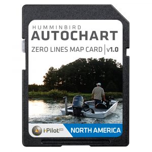
HUMMINBIRD AUTOCHART ZERO LINES MAP CARD
The Humminbird AutoChart Zero Lines is the place where the water meets the shore. It's also the starting point for building your own maps with AutoChart. With these all-important Zero Lines as your foundation, you can begin creating your own, accurate and detailed maps of any fishing spot, even where contour coverage doesn't exist.$74.99 Add to cart -
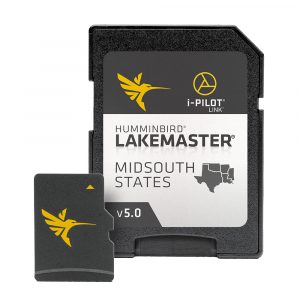
HUMMINBIRD LAKEMASTER MIDSOUTH STATES
The Humminbird LakeMaster MidSouth Edition Version 5 combines the best fishing waters in Texas, Oklahoma, Arkansas, Louisiana, and Mississippi all on one map card.$104.99 Add to cart -
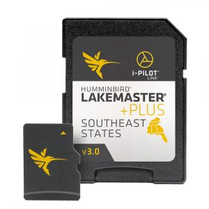
Humminbird LakeMaster SouthEast States PLUS
The Humminbird LakeMaster PLUS Southeast States Edition, Version 3, has added over 230 new lakes since the prior version – more than 160 in High Definition. Additionally, it boasts 300 High Definition lakes with with aerial imagery overall and more than 760 total lakes from AL, FL, GA, KY, MS and TN. Give yourself the extra edge on the water by utilizing LakeMaster PLUS aerial imagery to find the secret spots others are missing.$129.99 Add to cart


Reviews
There are no reviews yet.