
Humminbird LakeMaster Great Lakes PLUS
$129.99
Humminbird LakeMaster Great Lakes PLUS Edition, micro map card has added over 140 lakes, 50 High Definition waters to now boast contours for a total of over 1540 lakes with more than 380 lake maps in High Definition for Michigan, Indiana, and Ohio.
Description
Humminbird LakeMaster Great Lakes PLUS Version 2
Item 600015-6
LakeMaster Plus maps include all of the features of LakeMaster maps, PLUS aerial photography of High Definition lakes for insight of contour lines, docks, buildings and structure. View these aerial images as a single layer, overlay it with depth contours, or overlay it with the full LakeMaster map for maximum detail.
The Humminbird LakeMaster Great Lakes PLUS Edition, micro map card has added over 140 lakes, 50 High Definition waters to now boast contours for a total of over 1540 lakes with more than 380 lake maps in High Definition for Michigan, Indiana, and Ohio.
Features:
- Updated shallow water areas for Lake Michigan and parts of Lake Superior
- Full coverage of Lake Superior
- All of Lake Huron (now including Georgian Bay)
- Beaver Island on Lake Michigan in High Definition
- High Definition Survey of Lake St Clair (including the Canadian side)
- Updated the St. Clair River High Definition survey (including the Canadian side)
- Updated the Detroit River High Definition survey (including the Canadian side)
- High Definition survey of Syracuse, Kosciusko in Indiana
- High Definition survey of Wamplers, Lenawee in Michigan
- High Definition survey of Portage/Torch, Houghton in Michigan
- High Definition survey of Lower Grand and Spring Lake in Michigan
Related products
-
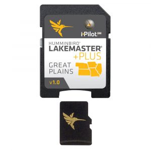
Hummingbird LakeMaster Great Plains PLUS
Humminbird LakeMaster Great Plains PLUS Edition Version 6 combines many of the best fishing waters for Iowa, Illinois, Kansas, Missouri and Nebraska, all on one map card.$129.99 Add to cart -
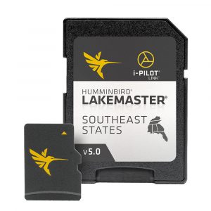
HUMMINBIRD LAKEMASTER SOUTHEAST STATES
The Humminbird LakeMaster Southeast States Version 5 has added over 230 new lakes since the prior version – more than 160 in High Definition. In all, this version boasts 300 High Definition lakes and more than 760 total lakes from AL, FL, GA, KY, MS and TN, so you can be confident in where you're fishing, no matter where the fish take you.$104.99 Add to cart -
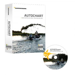
HUMMINBIRD AUTOCHART DVD MAPPING SOFTWARE
Humminbird AutoChart DVD Mapping Software uses proprietary software that takes your Humminbird's sonar recordings and GPS to build custom lake charts.$159.99 Add to cart


Reviews
There are no reviews yet.