- You cannot add "HUMMINBIRD LAKEMASTER WOODS RAINY" to the cart because the product is out of stock.
Sale!

HUMMINBIRD LAKEMASTER ONTARIO
$104.99
The Humminbird LakeMaster Ontario Edition Version 1 map card is loaded with contours for over 550 lakes within Ontario.
Description
Huminbird LakeMaster Ontario Edition Version 1
Item 600053-1
The Humminbird LakeMaster Ontario Edition Version 1 map card is loaded with contours for over 550 lakes within Ontario. Additionally, included coverage exists for many border waters and the Great Lakes: Michigan, Superior, Huron, Erie & Ontario.
Features:
- Updated shallow water areas for Lake Michigan and parts of Lake Superior
- Full coverage of Lake Superior
- All of Lake Huron (now including Georgian Bay)
- Beaver Island on Lake Michigan in High Definition
- High Definition Survey of Lake St Clair (including the Canadian side)
- Updated the St. Clair River High Definition survey (including the Canadian side)
- Updated the Detroit River High Definition survey (including the Canadian side)
Plus High Definition surveys for border waters including:
- High Definition survey of Falcon Lake, Manitoba
- Crane, Rainy River, Minnesota
- Kabetogama, St. Louis, Minnesota
- Namakan, Rainy River, Minnesota
- Sand Point, Rainy River, Minnesota
- Barr, Manistee, Michigan
- Bear, Muskegon, Michigan
- Macatawa, Ottawa, Michigan
- Pentwater, Oceana, Michigan
- Pere Marquette, Mason, Michigan
- Skegemog, Antrim, Michigan, and more!
LakeMaster Map Card Features Include:
- Highlight Depth
- Shallow Water Highlight
- Water Level Offset
- iPilot LINK compatible
- MicroSD card with SD Adapter to fit a wide range of Humminbird models
Related products
-
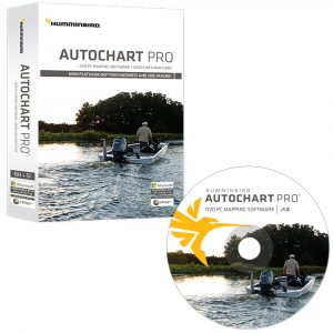
HUMMINBIRD AUTOCHART PRO DVD MAPPING SOFTWARE
Humminbird AutoChart PRO DVD Mapping Software for North America offers all the leading features of AutoChart-but with two key enhancements designed to give tournament anglers a competitive edge.$199.99 Add to cart -
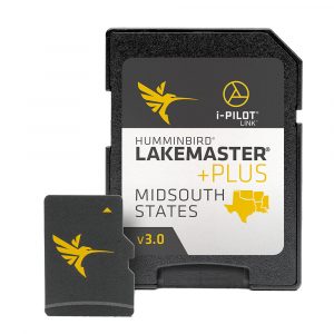
Humminbird LakeMaster MidSouth States PLUS
Humminbird LakeMaster MidSouth States PLUS Edition map card features many freshwater lakes in Texas, Oklahoma, Arkansas, Louisiana and Mississippi, all on one micro card and SD adapter map card.$129.99 Add to cart -
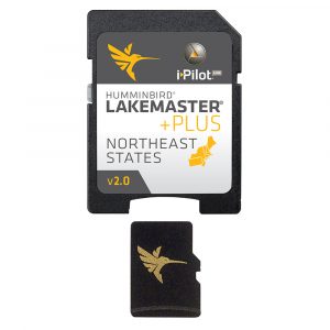
Humminbird LakeMaster NorthEast States PLUS
he Humminbird LakeMaster NorthEast States PLUS Edition Version 2.0 map card covers Connecticut, Massachusetts, Maine, New Hampshire, New Jersey, New York, Pennsylvania, Rhode Island, and Vermont.$129.99 Add to cart


Reviews
There are no reviews yet.